Sri Lanka Hiking Safety: Adam's Peak, Ella Rock, Knuckles
Safe hiking in Sri Lanka: Adam's Peak seasons and passes, Ella Rock touts and trains, Little Adam's Peak, Horton Plains, Knuckles permits and storms.
Sri Lanka's hill country is full of rewarding hikes, and most of them need no special skills. The risks are simple but real: slippery paths, unmarked turns, sudden storms, cliff edges and an active railway line.
This guide covers the most popular hikes and how to do them safely. Most of the problems we found could have been avoided with an earlier start or a step back from the edge.
Conditions may have changed since Cyclone Ditwah hit the hill country hard in November 2025. We found no official trail-by-trail status list, so ask your guesthouse about the current state of the route before you set out.
The short version
- Start early. Storms often build later in the day, and the midday heat is intense.
- Stay well back from cliff edges, especially when taking photos.
- Tell someone your route and when you expect to be back.
- Check the forecast and landslide warnings after heavy rain, and postpone if needed.
- Carry water, a torch, a charged power bank and offline maps.
- Emergency: call 1990 for an ambulance and 119 for police.
Which hike is right for you?
| Hike | Time | Difficulty | Main hazards |
|---|---|---|---|
| Little Adam's Peak | About 2 hours return from Ella | Easy to moderate | Cliff edges, sun |
| Ella Rock | 3–4 hours return | Moderate | Railway line, poor signs, touts, heat |
| Adam's Peak (Sri Pada) | 3–4 hours up, plus the descent | Hard | Thousands of steps, crowds, cold, rain |
| Horton Plains and World's End | Half a day | Easy to moderate | Unprotected drop, mist, cold |
| Knuckles Range | Half a day to several days | Moderate to hard | Getting lost, leeches, permits |
Adam's Peak (Sri Pada)
This sacred mountain is climbed by pilgrims of several faiths. The usual route from Nallathanniya (Dalhousie) is about 5.7 km, with around 5,500 steps. Most people climb overnight to see the sunrise.
In season (December to May)
The pilgrimage season runs from the Unduvap Poya in December to Vesak in May. The 2026–27 season is expected to open around 23 December 2026, though we hadn't seen an official confirmation when we checked. The path is lit, stalls sell tea and snacks, and you won't be alone.
- Avoid weekends and Poya days if you can. About 20,000 people can climb on a busy weekend, and queues can leave you stuck on the steps.
- Start around 2 am for sunrise, or earlier at busy times. Your pace will depend on the crowd.
- Bring warm layers. You'll sweat on the way up, then the summit wind turns cold quickly as you wait for dawn.
- Don't bring alcohol or polythene. Authorities ask pilgrims to leave them behind.
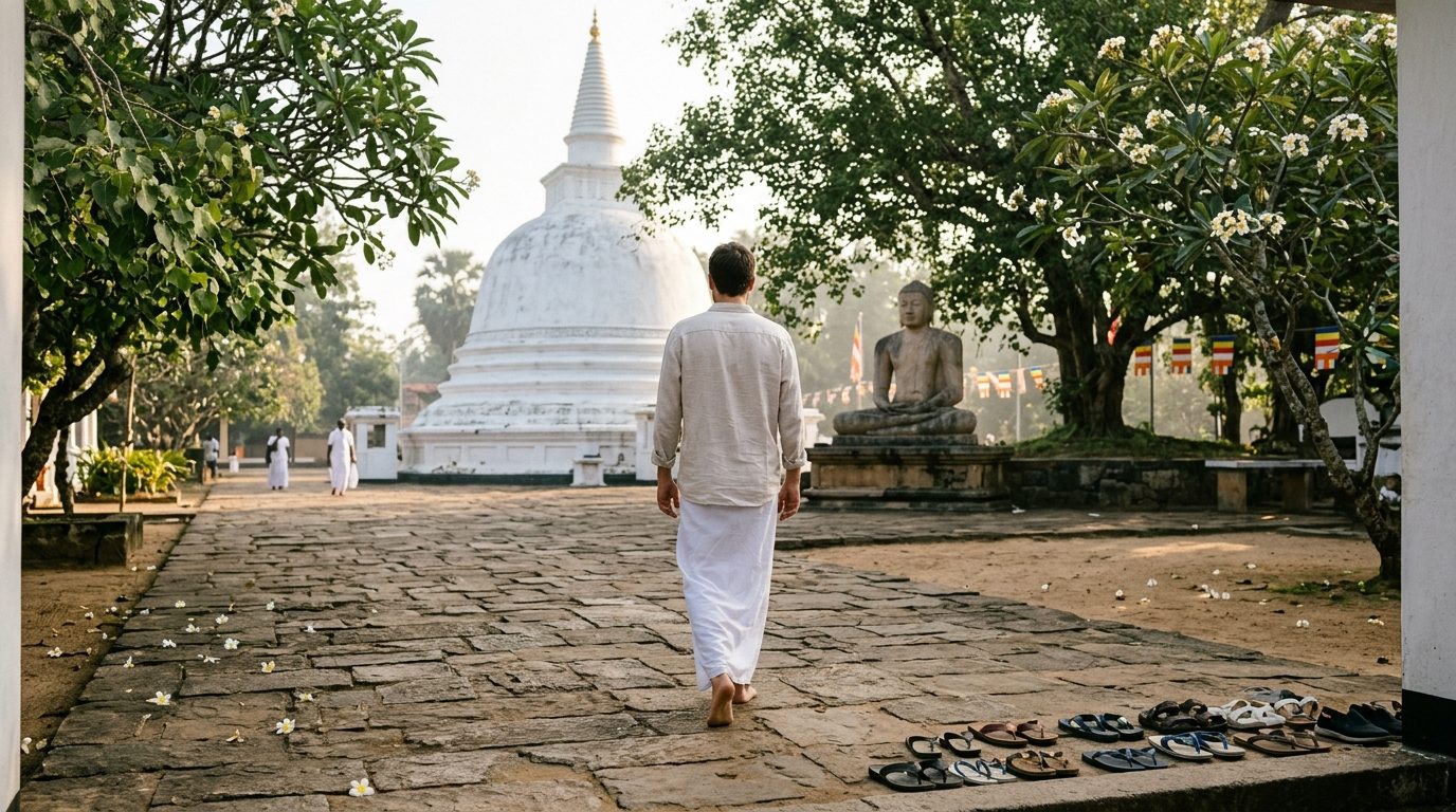
- Respect the site. Dress modestly and take off your shoes at the summit temple.
- Save your knees. The descent is hard on them, so walking poles or a slow pace help.
Off season (roughly June to November)
Rain and wind are stronger, there are few people around, and you can't rely on stalls or lights being available. The off-season also has new rules. In July 2026, the Department of Wildlife Conservation announced that:
- Only two routes are open: Nallathanniya and Palabaddala.
- You need a pass from the Nallathanniya or Palabaddala Wildlife Office before you enter.
- Other routes are closed: Maliboda, Erathna, Mukkuwatta and Sandagalatenna. Using them can lead to legal action.
- Don't bring plastic bottles or polythene, and take all your waste away with you.
Off-season climbers should go in daylight, with a companion or guide, in dry weather, and with a torch and enough food and water for the whole climb.
Getting there
Nallathanniya is reached by road, and Hatton, about 32 km away, is the nearest railway station. Rail services in this area have been disrupted since the cyclone, so check before relying on a train.
Ella Rock
Ella Rock usually starts at Ella station and follows the railway line before climbing through tea and forest to the viewpoint. It's rewarding but not always straightforward.
- Treat the railway as active. Trains run again between Nanu Oya, Ella and Badulla. Don't wear headphones, and step well clear when you hear one coming. Never stop on a bridge or in a tunnel when a train may be due.
- Download a route before you go. Hikers report that the path is poorly marked.
- Be wary of "wrong way" warnings. Touts sometimes tell hikers they've taken the wrong route, and then offer to guide them. Check your map before you accept. If you do want a guide, agree the price first.
- Start at or before sunrise. There's little shade, and the heat is intense by midday.
- Bring plenty of water. Some walkers also report paying a small access fee along the way, so carry some cash.
- Don't hike down in the dark without a torch and a known route.
Little Adam's Peak
This is the easiest big view in Ella, about 2 hours return from town. It's mostly gentle, ending in a short scramble over stone, and it's a good sunrise or sunset walk. Bring a torch for either.
It's still a real cliff. On 10 January 2026, a foreign tourist child fell nearly 100 feet from a steep cliff here while trying to take a selfie, and was brought to safety by a rope rescue team.
- Stay back from the edge, especially for photos.
- Hold on to children, and keep them away from drop-offs.
- Stop walking while you take a photo. Don't back up while looking at your screen.
- Be careful on wet rock, which gets very slippery.
- Wear sunscreen, as there's little shade.
Horton Plains and World's End
Horton Plains is a national park on a high plateau, and World's End is a sheer cliff with a huge drop.
- Don't lean out or sit on the edge for a photo. The drop is massive, and mist can hide it.
- Arrive early. Mist often rolls in as the morning goes on and can hide the view.
- Bring warm clothes and rain gear. It's cold up here, even if it was hot lower down.
- Stay on the path, and keep your group together in mist.
- Avoid single-use plastic. Park staff may check your bag.
- Check the fee when you book. Reports vary from about US$15 to US$30 per adult foreign visitor, plus service charge and tax. The Department of Wildlife Conservation sets the current price.
The Knuckles Range
Knuckles is wilder than the other hikes here, with cloud forest, ridges and paths that aren't always clear.
- Get a permit. You need one from the Forest Department to enter the protected area. In 2024, the department warned of strict action against people entering without permission. Some of the unofficial tours advertised on social media may not have proper permission, so ask.
- Hire a local guide, especially for longer routes. Some hikers go alone, but paths can be poorly marked and mobile signal isn't reliable. A guide can also arrange permits.
- Expect leeches after rain. Bring leech socks.
- Carry extra food and water, plus layers and rain gear.
- Don't go in heavy rain, when streams rise and slopes get unstable.
Storms, lightning and landslides
Lightning
The Department of Meteorology often issues lightning warnings for provinces including Central, Uva and Sabaragamuwa. Storms can form quickly. If you hear thunder:
- Get off summits, ridges and open ground.
- Don't shelter under a lone tree, and stay away from metal fences and railway tracks.
- Go inside a building or vehicle if you can reach one.
- If you're caught out, go to the lowest ground you can find, away from water, and don't lie flat.
Landslides
The National Building Research Organisation (NBRO) issues landslide warnings at three levels: Level 1, Level 2 and Red (evacuate). A landslide can occur at any warning level, and recent reports warn that even light rain can trigger one in vulnerable areas.
- Check NBRO and Disaster Management Centre (117) warnings before hiking after heavy rain.
- Watch for warning signs: new cracks, muddy streams, tilting trees and falling stones.
- Leave the slope immediately if you see them, and don't cross fast-flowing streams.
What to pack
- At least 2 litres of water per person, more for long or hot hikes
- Snacks, and oral rehydration salts
- Good shoes with grip. Flip-flops aren't suitable
- A torch or headlamp, with spare batteries
- A rain jacket and warm layer
- Sun cream, a hat and insect repellent
- Offline maps, and a charged phone and power bank
- A small first-aid kit, including blister plasters and paracetamol
- Cash, and a copy of your passport
If something goes wrong
- Stop and stay where you are if you're lost or hurt. Moving around usually makes things worse.
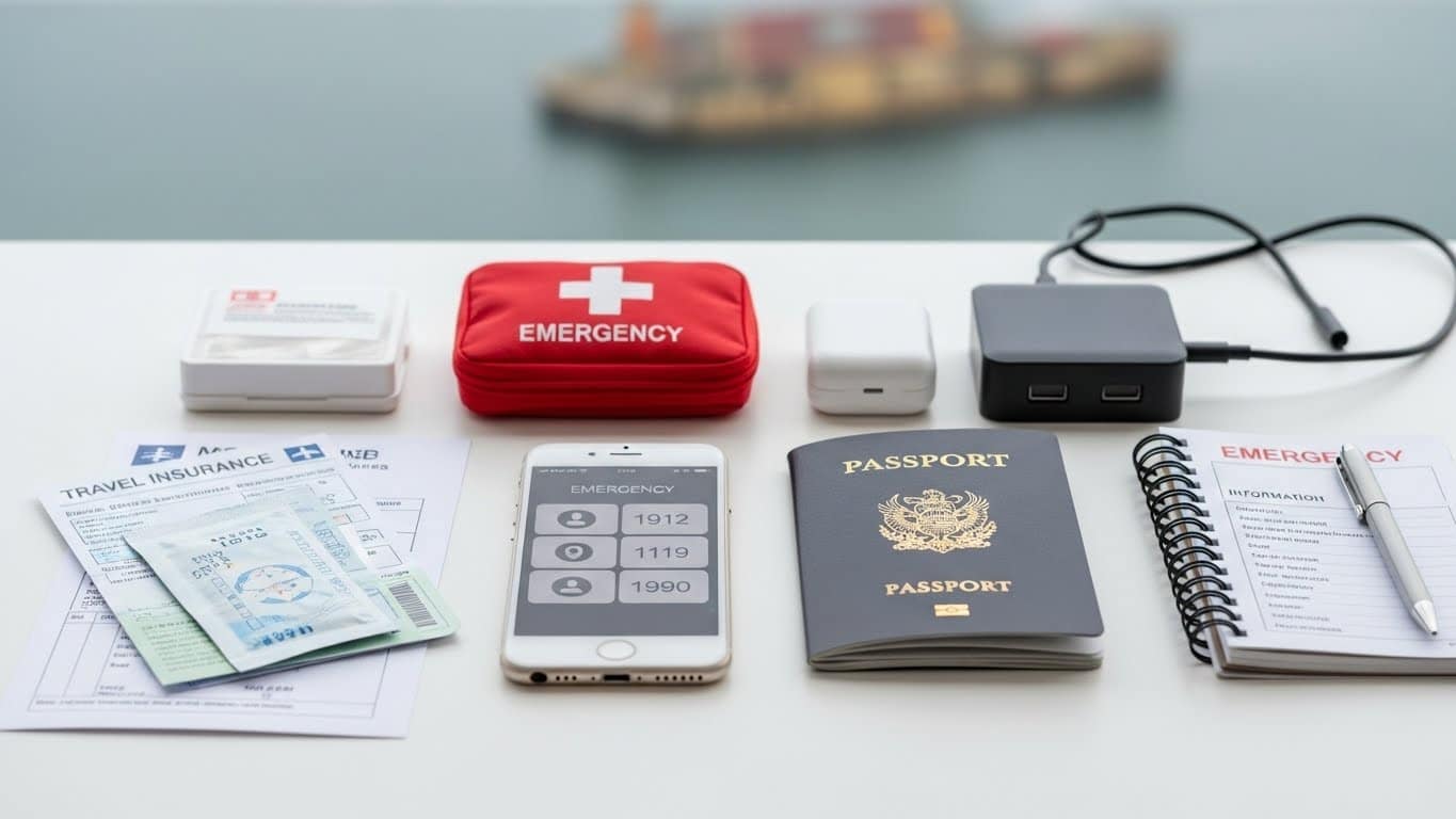
- Call 1990 for medical emergencies or 119 for police. Give your location, a landmark and how many people are affected. Share your phone's coordinates.
- If there's no signal, move to higher open ground if it's safe, or send someone in your group down with the location. Don't leave an injured person alone if you can avoid it.
- Call your travel insurer as soon as you can. Check before you go that your policy covers trekking.
FAQ
When is the best time to climb Adam's Peak?
During the season from December to May, on a weekday that isn't a Poya day. January to March is generally drier in the hill country.
Can I climb Adam's Peak in the off season?
Yes, but only by the Nallathanniya or Palabaddala routes, with a pass from the Wildlife Office. Go in daylight and in good weather, because facilities may be closed.
Do I need a guide for Ella Rock?
Not usually, if you have an offline route and start early. Be careful of people who say you've gone the wrong way and then offer to guide you. A guide can still help if you're unsure of the route.
Is it safe to walk on the railway tracks in Ella?
It's an active line, so take care. Keep your headphones off, stay alert, and get well clear when a train comes. Take particular care on bridges and in tunnels.
Do I need a permit for Knuckles?
Yes, a Forest Department permit is needed for the protected area. A local guide or reputable operator can arrange it.
Is it safe to hike alone in Sri Lanka?
On busy routes such as Little Adam's Peak, usually. For longer or quieter routes, go with others or a guide, and make sure someone knows your plan. Our solo female travel guide has more advice.
For the hill country's seasons, read our weather and packing guide, and for leeches and snakes, our wildlife safety guide. The Sri Lanka Safe app keeps emergency numbers available offline and sends safety alerts.
Sources
- Daily Mirror: Sri Pada off-season routes and passes, July 2026
- Ada Derana: Sri Pada season opening, 2025
- Newswire: rescue at Little Adam's Peak, January 2026
- The Common Wanderer: Ella guide, October 2026 (unofficial)
- BYC: hill country train status, 2026 (unofficial)
- Forest Department warning on entering Knuckles, 2024
- The Morning: NBRO landslide warning levels
- Ada Derana: Department of Meteorology lightning advisory
Travel Sri Lanka with Sri Lanka Safe
Fair tuk-tuk prices, scam alerts, offline emergency contacts and AI trip planning, in one free app.